- First, let me introduce to you the Porcupine Islands. Here is a funny learning technique (a.k.a. mnemonic) that can help you remember their names.
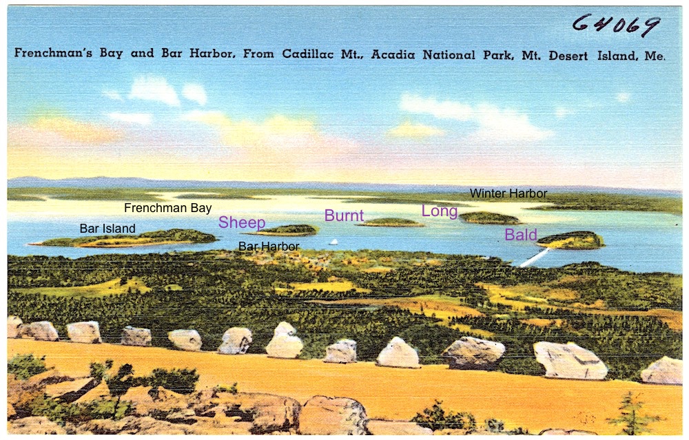
Source: Tichnor Brothers, Publisher, Public domain, via Wikimedia Commons
Bar Island is the closest to Bar Harbor and can be reached by foot during low tide. Sadly, today it is not considered as part of the Porcupine archipelago but maps from 1780s mark it as Bar Porcupine Island. I guess, someone got a little bit lazy over the years. Then comes Sheep Porcupine, the most photographed island in the family. As you can tell from its name, it had a sheep farm in its distant past. Next is Burnt Porcupine. It gets its name from the charcoal colors of its rocks. Long Porcupine is the longest and, in fact, the largest. The island with the breakwater line extending from it towards shore is Bald Porcupine. This is a key reason why Bar Harbor has a successful port and harbor.
Now, can you see how the phrase “Sheep Burnt too Long go Bald” helps remember each and everyone of Porcupine Islands name and their order?
- Islands’ shape or Why the abundance of sunlight can be dangerous?
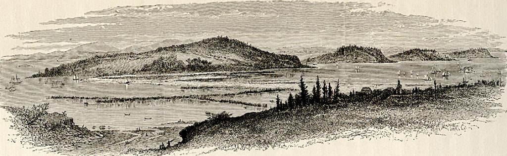
Source: Southwest Harbor Public Library Digital Archive.
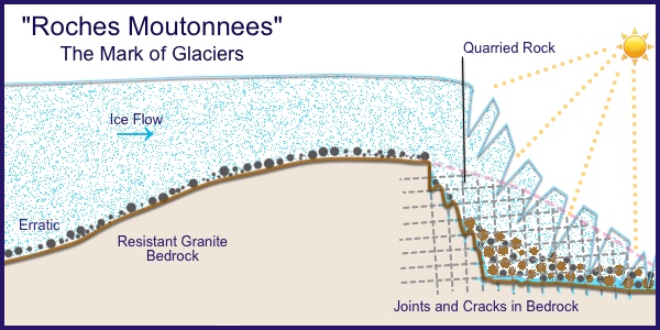
Porcupine Islands, just like The Beehive mountain and The Bowl pond, were named for their shapes. The archipelago bears the Roches Moutonnees mark of glaciers: gently sloping northern sides and exposed steep southern cliffs. These cliffs were quarried by glaciers roughly 20,000 years ago. The endless process of melting water during the day and re-freezing it back into ice overnight, tore away rock. But the tearing wasn’t symmetrical. Here, in the north, sun can never rise to be directly overhead, putting the northern slopes at a disadvantage in the amount of available sunlight. Or is it? In case of glaciers, the abundance of sunlight on the southern slopes of the Porcupine Islands melted the ice on the southern sides only, hence the cliffs.
- Where is Porcupine name came from or the law of surprise?
Porcupines thrive on Mount Desert Island. Since prehistoric time the Wabanaki people make baskets from their quills. The endless Spruce-Fir forest of Acadia National Park is surprisingly an adequate habitat for porcupines. You have the best chance to spot them in the northern Sieur de Monts on the Jesup Path, Hemlock Road and StrathEden Path. During the winter time, porcupines feed on tree bark due to the natural absence of plants. However, they are particularly attracted to vegetable gardens and fruit trees of Bar Harbor residents.
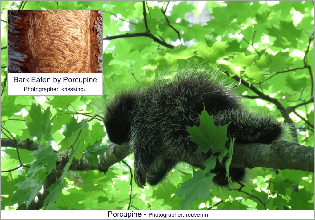
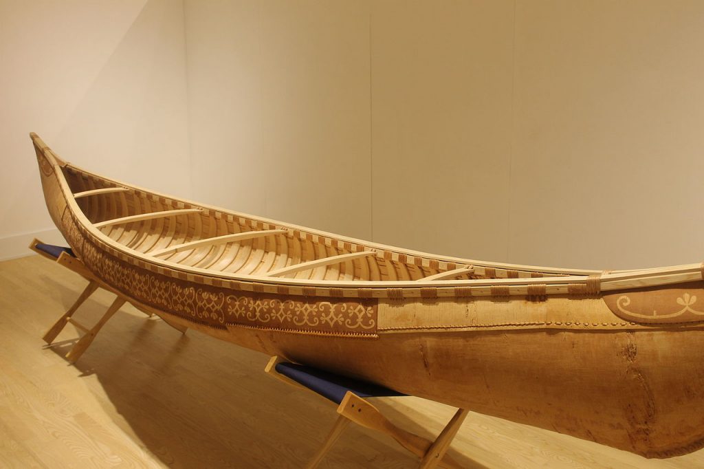
That is probably how the legend about the creation of the Porcupine Islands was born. The legend does not belong to the Wabanaki. In it, a demigod and chief of the local people had giant porcupines as pets. One day he decided to built a canoe to visit his people on the mainland. After discovering that his porcupines ate all the bark of the island’s birch trees and realizing that he is stranded with no canoe, the chief became angry with them. Irritated, he went up to the top of Cadillac mountain and kicked them one by one into Frenchman Bay, where they turned into islands.
Source: CC BY 3.0 https://creativecommons.org/licenses/by/3.0, via Wikimedia Commons
A beautiful legend, isn’t it? Do you want to know more interesting stories and have meaningful quests while visiting Acadia National Park? Then, check out my book available on Amazon as paperback and Kindle editions. Buy a book, change a life!
Copyright © 2022 by E.Gra. Unless otherwise noted, all rights reserved. Unless otherwise indicated, no part of this work may be reproduced, or transmitted in any form or by any means without the author’s prior written consent.